Topographic Surveying & Mapping
Topographic Surveying & Mapping
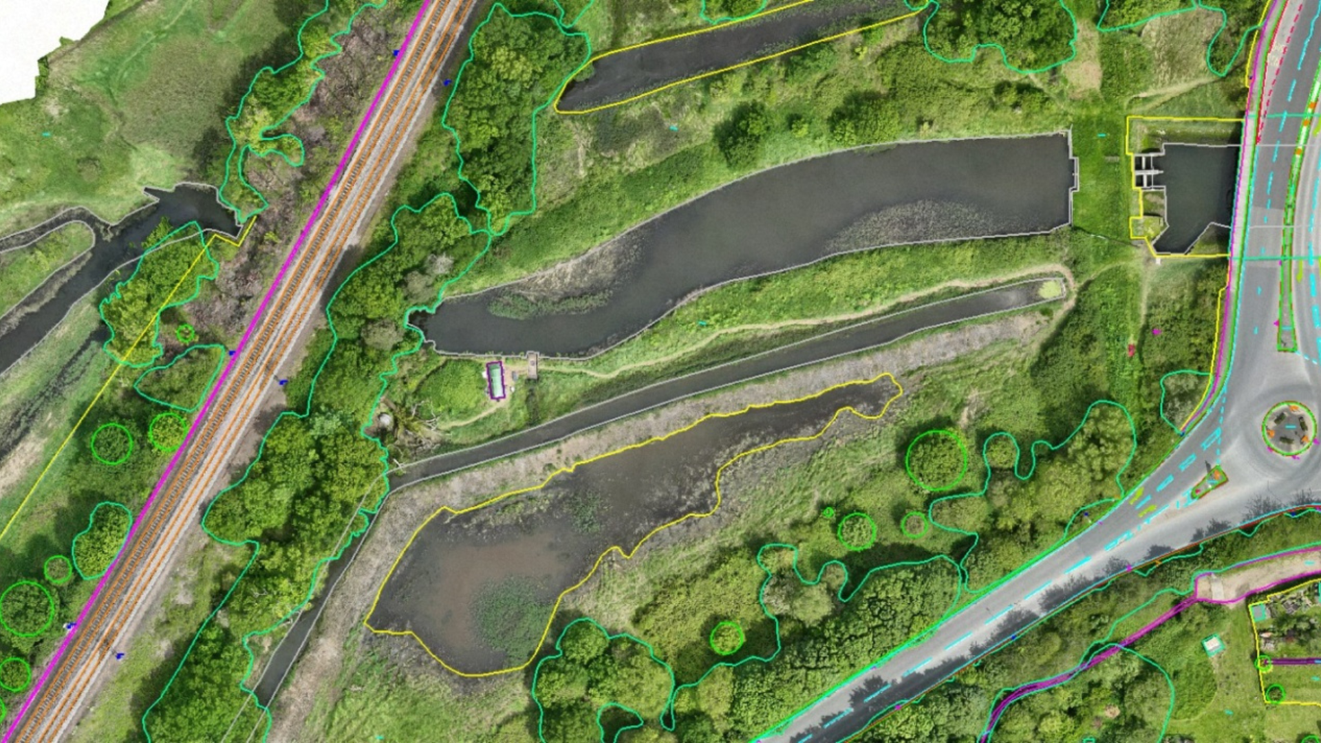
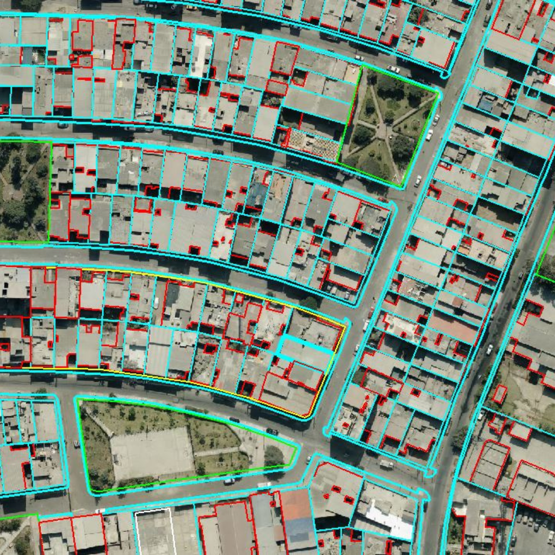
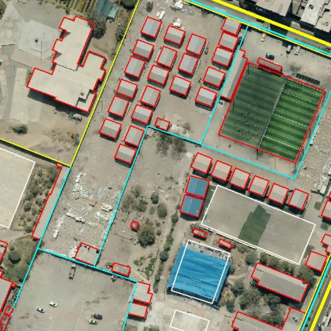
Get highly accurate representation of land features for comprehensive geomorphological and topographical analysis. Work with extremely precise LiDAR data on topography, vegetation, and infrastructure. Process and analyze high-precision information to monitor changes associated with land use or land cover.
Terrain Modeling
Land Use / Land Cover
Contour Generation


